
Here are some photographs of the area, taken in December 1999 on a rather wet day! Click on the thumbnail size photo to see a full size photo. To see where these photos were taken from and in which direction they are pointing see this map.
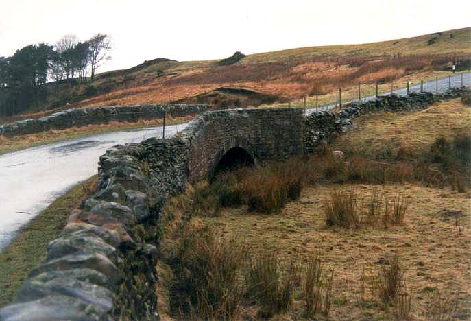
This almost insignificant bridge in the middle of nowhere is named "Balshaw Bridge" on the Ordnance Survey maps. You hardly notice it as you drive along the road.
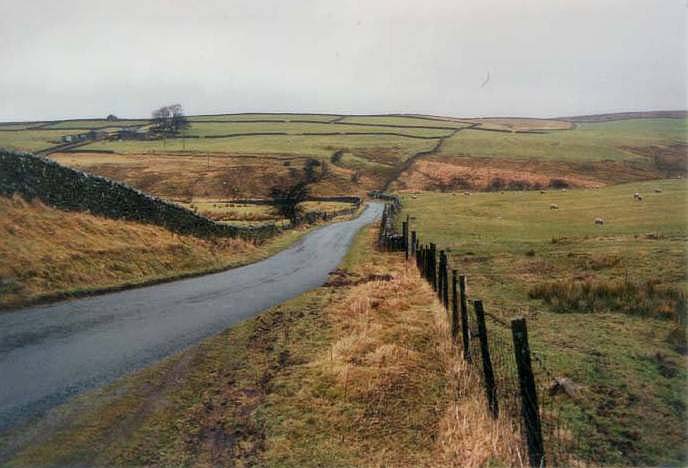
Just to the south the road takes a sharp bend to the right into "Balshaw Road".
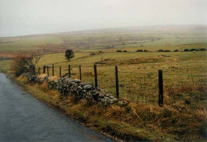
Two views towards the north along Balshaw Road. The remains of the farm are in the field on the right. Balshaw Bridge is less than half-a-mile to the north along this road. You just go around the corner to the left and about the same distance again.

All that is left of the buildings is a small amount of rubble.
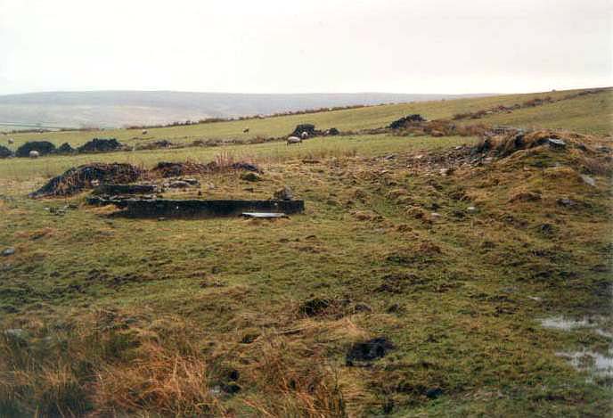
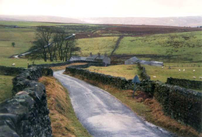
In this view, the nearby buildings were previously known as "Moor Cock" (a popular name for a public house in that area). In 1829 it seems to have been known as "Borshaw Moor". Balshaw Bridge is just beyond it at the bottom of the hill. The small area of rubble in the distance that is just visible to the left of the clump of trees is all the remains of the farm known as "Balshaw". The road that you can see behind the clump of trees is "Balshaw Road".
Follow this link for details of the origin of the name Balshaw, or this link for specific information on the farm known as Balshaw.